After yesterday’s exciting outing to Graz we were planning an even bigger outing today: an excursion to the so-called “Drei-Länderecke”, an area where Austria, Italy and Slovenia come together. So we left early in the morning to drive from my home province of Styria along the A2 Highway to the Austrian province of Carinthia. The drive across the mountains of Western Styria is extremely scenic and the pleasant panoramas continued into the picturesque province of Carinthia (“Kärnten” in German).
The province of Carinthia is the southernmost Austrian province; it is close to 280 km long, but in some areas only 45 to 50 km wide. The western part of the province is characterized by the Austrian High Alps while the eastern part features wider valleys and medium-altitude mountains. Carinthia is an extremely popular tourist destination, in particular the scenic lakes (e.g. Wörthersee, Ossiacher See, Millstätter See, Weißensee and many others) are a huge tourist draw in the summer, and in winter this province features several excellent ski areas for Alpine skiing enthusiasts.

In full bloom
Our destination for today was a mountain called “Mangart” which is located in Slovenia and at 2679 m the fourth-highest peak of the Julian Alps. This part of the Alps extends from north-eastern Italy into Slovenia and was named after Julius Cesar. The predominant mineral in this area is limestone which features many prominent and jagged mountain peaks.

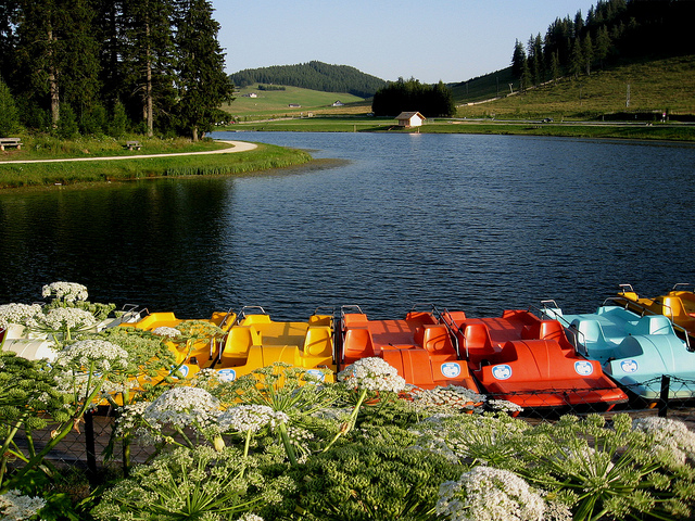
View of the Predil Lake
The Mangart mountain is most easily reached from the Italian side, so we crossed the Austrian-Italian border at Thörl-Maglern. Because Austria and Italy are both EU member countries, we did not even have to show our passports any more and continued into the border town of Tarvisio and turned left into a mountain river valley that would take us to our destination. Our drive took us through quaint mountain villages that seemed rather remote and secluded, and less than half an hour from Tarvis we reached the beautiful “Predil Lake”, a gorgeous lake with green and turquoise waters that is surrounded by an imposing mountain panorama. We stopped for a brief picture break and continued our ascent up the Julian Alps past various switchbacks and leftover fortifications dating back to World War I. Many mountains in this area were actually scenes of the mountain warfare that characterized the First World War. Major military operations took place in this area right in the high mountains between the middle of 1915 and late 1917 and more than 300,000 Austro-Hungarian and Italian soldiers perished in these battles.

Another scenic vista of the Predil Lake
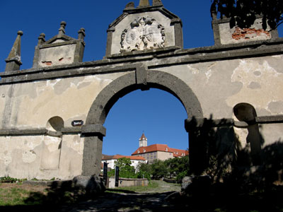
Finally we reached the Italian-Slovenian border and we still had to present our passports. We continued further up on the flanks of the Mangart Mountain, but our vehicle started to overheat. My brother stopped and opened the hood, and we started to conclude that the engine cooling fan was not working. As a result, we would be unable to continue climbing up the steep roads and had to turn around and head back into the valley.

A view towards the limestone peaks of Northern Italy
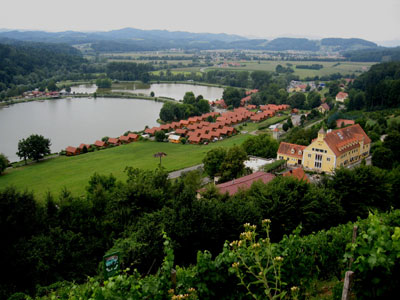
All of us were a little disappointed since we were not able to reach our mountain destination, but we were quick on our feet and decided to think of an alternate location to visit. My brother suggested to head back to the Tarvisio area in Italy and to take the cable car up Monte San Lussari. Since the road was either downhill or even, our vehicle was able to cool down and we were able to continue our trip on fairly flat terrain.

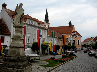
Church in Tarvisio
South of Tarvisio we drove through the village of Camporosso whose name is said to go back to red toads that were said to populate the area. We stopped at the base station of the Monte Lussari cable car and then the three of us took a ride up in one of the 91 cabins. We were able to take my brother’s dog with us and enjoyed the eleven minute long ride up the mountain. As we ascended the mountain vistas got more impressive.

Arrival on Monte Lussari
We exited at the top and I was surprised to see a tiny mountain village on top of the mountain which actually has been a popular pilgrimage destination for more than 600 years. Legends say that in 1360 a shepherd was looking for stray sheep and found them, kneeling next to a shrub and when he came closer, he saw that there was a wooden image of Mother Mary with Baby Jesus. He picked up the wooden image and took it down to the village to give it to the parish priest. But the next day the image was on the mountain again, surrounded by kneeling sheep. This miraculous event repeated itself for the third time and then a senior church official issued the instruction to build a chapel at the location where the image was found.

Amazing mountain views
Several buildings surround this chapel, and almost all of them house either restaurants or retail stores where you can pick up souvenirs and religious trinkets. Several restaurants feature outdoor patios or balconies that provide an unforgettable view. We walked through the small market area and hiked up just a few meters to the summit area of Monte Lussari from where we had a beautiful 360 degree of the surrounding mountains.

Three hikers and a dog